Welcome to the RZLT 2025 Interactive Maps
Explore interactive maps for different towns in Tipperary. Each map provides valuable insights and detailed information about the RZLT (Residential Zoned Land Tax) areas. Click on any card below to dive into the specific town's interactive map.
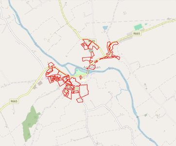
Ardfinnan
Ardfinnan RZLT Interactive Map
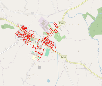
Borrisoleigh
Borrisoleigh RZLT Interactive Map
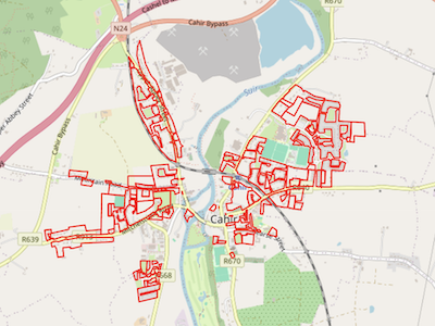
Cahir
Cahir RZLT Interactive Map
Carrick-on-Suir
Carrick-on-Suir RZLT Interactive Map
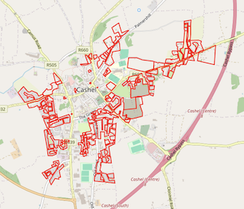
Cashel
Cashel RZLT Interactive Map
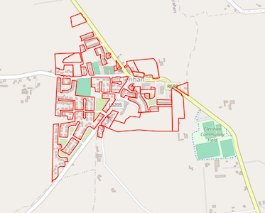
Clerihan
Clerihan RZLT Interactive Map
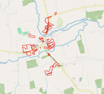
Clogheen
Clogheen RZLT Interactive Map
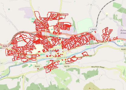
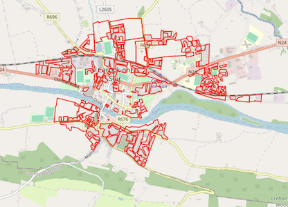
Clonmel
Clonmel RZLT Interactive Map
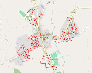
Killenaule
KillenauleRZLT Interactive Map
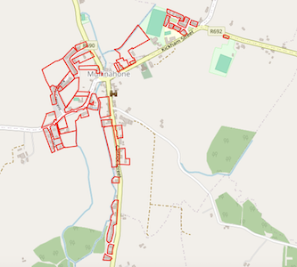
Mullinahone
Mullinahone RZLT Interactive Map
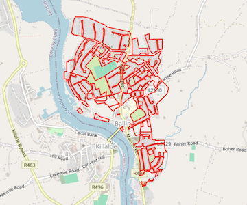
Ballina
Ballina RZLT Interactive Map
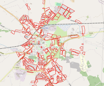
Roscrea
Roscrea RZLT Interactive Map
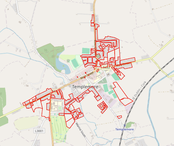
Templemore
Templemore RZLT Interactive Map
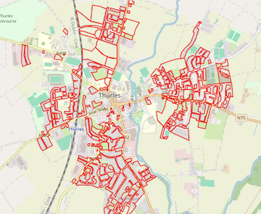
Thurles
Thurles RZLT Interactive Map
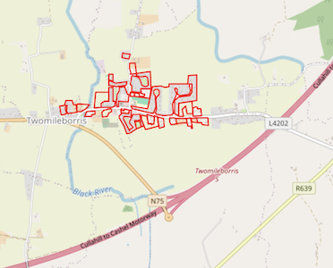
Two-mile Borris
Two-mile Borris RZLT Interactive Map
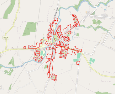
Newport
Newport RZLT Interactive Map